

Standard Navigation, 11 Champlain Canal & Southern Lake Champlain, Easy-to-Read, Large Print, Waterproof Paper, Tear Resistant, Printed on Two Sides, 2 Charts in 1, NOAA Charts
Product details
| Management number | 214525517 | Release Date | 2026/04/12 | List Price | $15.60 | Model Number | 214525517 | ||
|---|---|---|---|---|---|---|---|---|---|
| Category | |||||||||
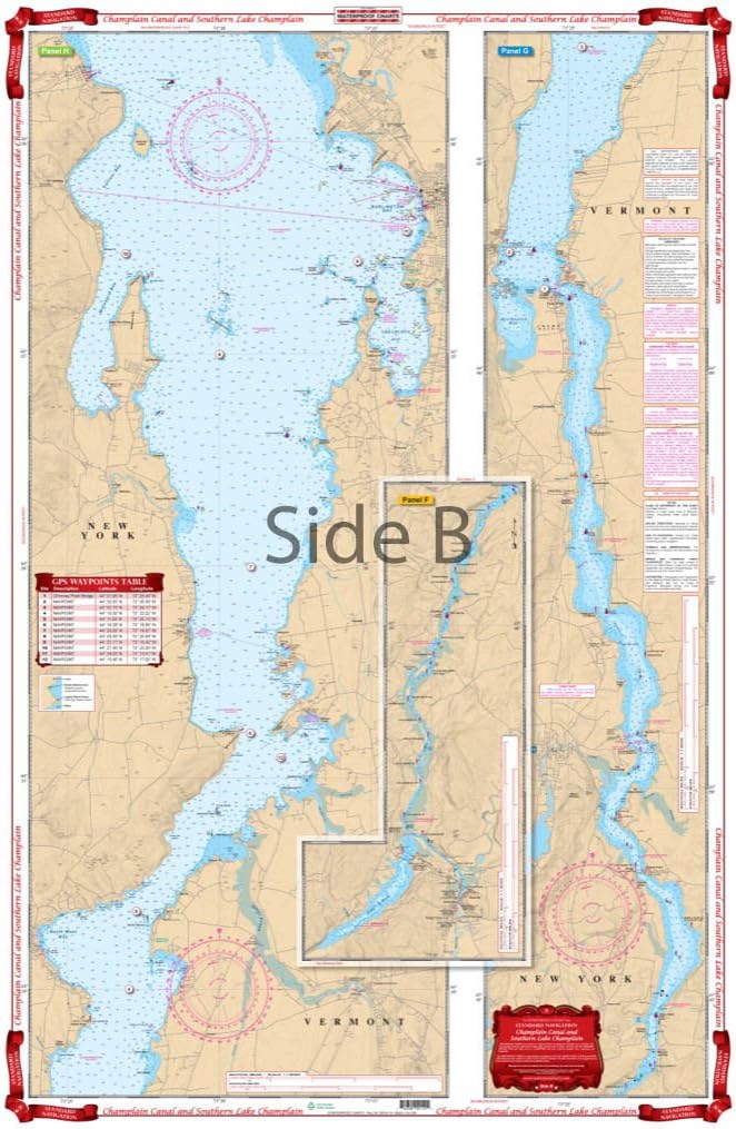
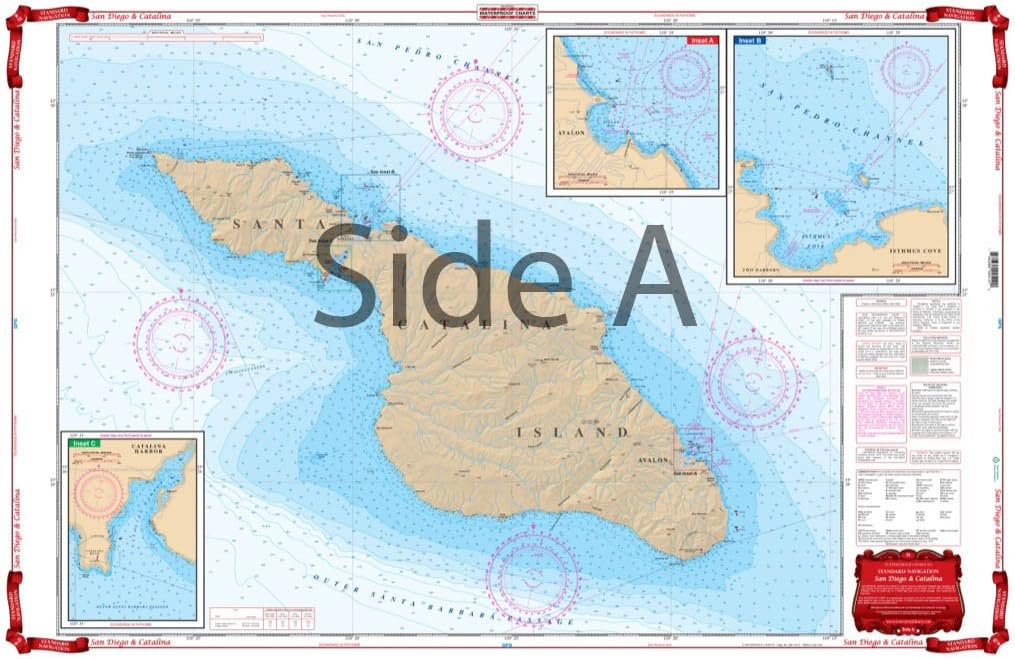
From the south one side starts at Troy and details the Champlain Barge Canal to Whitehall, N.Y. The Reverse Side continues north thru the Narrows of Dresden past the Crown Point Bridge and north to north of Burlington, Vt. and Port Kent, N.Y. Never panic about being lost again with this Lake Champlain map! This navigation map of the Champlain Canal up to the southern edge of Lake Champlain contains in-depth detail of this area to help keep you headed in the right direction. From the south, one side of this nautical chart starts at Troy and details the Champlain Barge Canal to Whitehall NY. The reverse side continues north thru the Narrows of Dresden past the Crown Point Bridge and north to north of Burlington VT and Port Kent NY. Be sure to order a second navigation chart to frame for your wall. If you plan to do some Lake Champlain fishing you will want to check out Waterproof Chart #11F. Information from 4 NOAA Charts; #14782, #14783, #14784, & #14786. Nautical Chart is 25″ X 38″. WGS84 – World Mercator Datum. Easy-to-Read Large Print Waterproof Paper Tear resistant Paper (Indescribable) Printed on two sides - 2 charts in 1: Larger Area of Coverage Charts are Compiled From Several NOAA Charts & Local Information Used for Sailing and Navigation
- From the south one side starts at Troy and details the Champlain Barge Canal to Whitehall, N.Y.
- The Reverse Side continues north thru the Narrows of Dresden past the Crown Point Bridge and north to north of Burlington, Vt. and Port Kent, N.Y.
- Never panic about being lost again with this Lake Champlain map!
- This navigation map of the Champlain Canal up to the southern edge of Lake Champlain contains in-depth detail of this area to help keep you headed in the right direction.
- From the south, one side of this nautical chart starts at Troy and details the Champlain Barge Canal to Whitehall NY.
| UPC | 740399001102 |
|---|---|
| Color | full color |
| Map Type | Nautical |
| Brand Name | Waterproof Charts |
| Paper Size | 25" X 38" |
| Manufacturer | Waterproof Charts |
| Paper Finish | Watercolor |
Bestseller ranking
Charts & Maps


Customers who viewed this product also viewed
Traction Pads


Correction of product information
If you notice any omissions or errors in the product information on this page, please use the correction request form below.
Correction Request Form